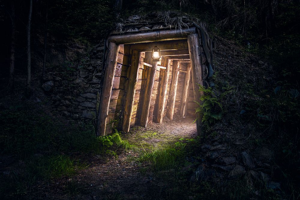
[Image above] Old mines can be converted into research or energy storage facilities, but we need accurate, accessible maps of the site in order to do so. Credit: Stamley / Shutterstock
The deep ocean is the embodiment of mysterious, unchartered territory, inspiring countless factual and fictional stories to ponder what lurks beneath its depths. Terrestrial exploration often does not invoke the same sense of wonder due to nearly 100% of the Earth’s land surface being mapped to some degree, but we often forget about the thousands of miles of unexplored soil and rock existing right beneath our feet.
For context, the center of the Earth is approximately 3,959 miles (6,371 km) from the surface, and the deepest hole ever created by humans is a measly 7.6 miles (12.2 km) in comparison. That is only 0.19% of the way to the center, but the extreme temperature and immense pressure that exists the farther down you go exceeds the limits of current technology.
Even though we can only scratch the Earth’s surface, there is still a lot for us to learn about the ground beneath our feet. That includes both natural phenomena, such as geologic hydrogen migration, and the effects from human activities, such as drilling.
Repurposing the remnants of past human activities is another opportunity for subsurface research. For example, turning retired fiber-optic networks into earthquake monitoring systems or converting old mines into neutrino research facilities or hydropower energy storage.
However, we must know where the anthropogenic remnants are located to make use of them, and we often lose track of private projects once they are abandoned. Fortunately, new digital technologies are making it easier to recover and repurpose some of this lost information, as demonstrated by researchers at Michigan Technological University.
Michigan Tech published a news release in January 2026 describing an ongoing project to convert fragile, century-old mine maps into immersive 3D models. The project started when Timothy Scarlett, associate professor of archaeology and anthropology at Michigan Tech, knew the old maps could potentially serve as research tools for evaluating energy storage potential, water flow modeling, and mine safety assessments. Converting the historical archives into actionable data was beyond his expertise, however, “So I started making phone calls,” he says.
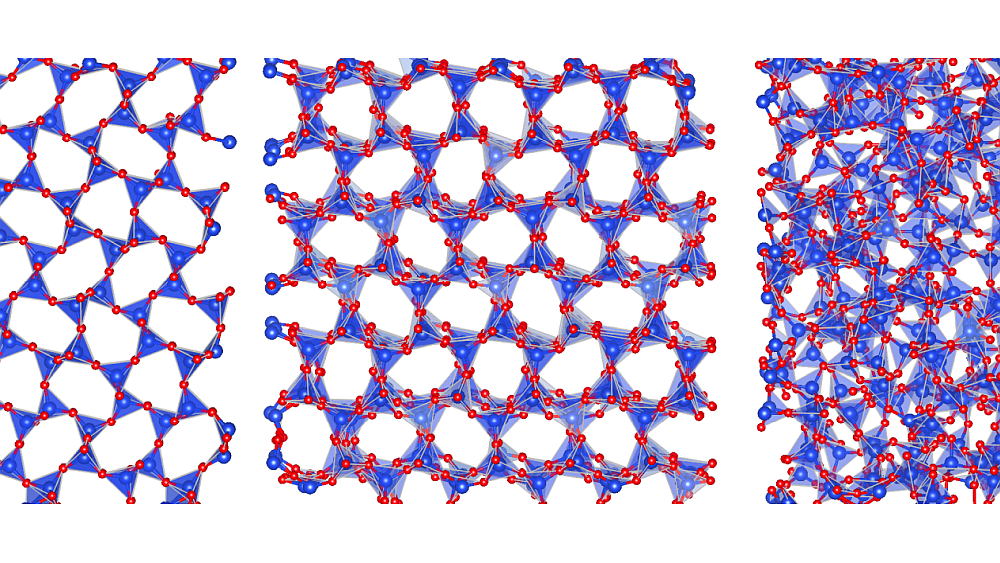
Scarlett connected with Ashraf Saleem and Nathir Rawashdeh, assistant professors in applied computing at Michigan Tech, who assembled a group of students in the mechatronics graduate program. The group created algorithms capable of correcting distortions, enhancing contrasts, and removing visual noise (such as water stains and creases) from the old maps. Once cleaned, the images are stitched together, layered, and transformed into digital 3D models.
In addition to greatly speeding up the process of reusing abandoned mines, Scarlett says the new algorithms can also benefit the archeological community. For example, when the group presented the 3D model of the Mather B Mine in Negaunee, Mich., to the city’s residents, they were quick to ask if the models could be turned into virtual-reality walk-throughs, which could be used for immersive educational experiences of the historic site.
“Call it archaeology, applied computing, robotics—it doesn’t matter. The outcome is the same: new knowledge and new capabilities. We all get something out of it,” Scarlett says. “This is the kind of thing we want technology to do—not replace creativity but remove the drudgery so we can focus on discovery.”
The group’s next step is to integrate machine learning into the algorithms so the system can recognize patterns, align maps, and build models with minimal human input.